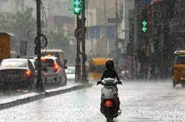
Ranchi: A well-marked low-pressure area currently hovering over eastern Madhya Pradesh now lies over East Madhya Pradesh, resulting in a downpour especially in southern and some parts of central Jharkhand.
Weathermen said an associated cyclonic circulation is also extending up to 5.8 Km above mean sea level. It is likely to move west-northwestwards and weaken into a low-pressure area during the next 12 hours. But, the weather station said the rainfall activity was likely to continue as another back-to-back low pressure was developing over the Bay of Bengal and it was expected to impact Jharkhand’s weather from August 13.
The monsoon trough at mean sea the level was passing through the centre low-pressure area over Saurashtra and adjoining the northeast Arabian Sea, Ahmedabad, Rajgarh, centre of a well-marked low-pressure area over east Madhya Pradesh, Pendra Road,
Jharsuguda, Balasore and thence south-eastwards to the east-central Bay of Bengal and extending up to 0.9 Km above the mean sea level.
Meanwhile, the prevailing low pressure resulted in a good shower show in the Kolhan region and some parts of central Jharkhand including the capital Ranchi. Weathermen said the low pressure resulted in an active monsoon over Jharkhand, which is expected to experience rainfall activity in the next few days.

